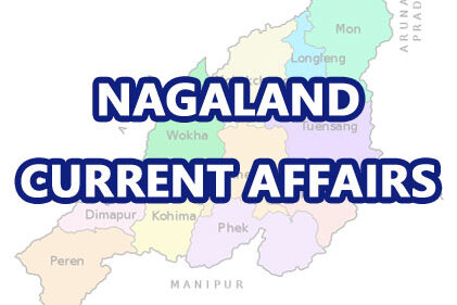
Nagaland Geography MCQ Set 18
Time limit: 0
Quiz-summary
0 of 5 questions completed
Questions:
- 1
- 2
- 3
- 4
- 5
Information
- Click ‘Start Quiz’ to start.
- Complete the quiz and click view answers to review.
You have already completed the quiz before. Hence you can not start it again.
Quiz is loading...
You must sign in or sign up to start the quiz.
You have to finish following quiz, to start this quiz:
Results
0 of 5 questions answered correctly.
Your time:
Time has elapsed
You have reached 0 of 0 points (0).
Categories
- NPSC Past Papers 0%
-
- You have finished the quiz.
- Click ‘View Answers’ to check your answers.
- Find more quiz in the same topic by clicking on Categories.
- 1
- 2
- 3
- 4
- 5
- Answered
- Review
-
Question 1 of 5
1. Question
Chathe River is located in :
Correct
Incorrect
-
Question 2 of 5
2. Question
The highest peak in Nagaland is Mt. Saramati with a height of :
Correct
Incorrect
-
Question 3 of 5
3. Question
The Eastern most part of Nagaland bordering Myanmar is :
Correct
Incorrect
-
Question 4 of 5
4. Question
Noklak District was created on :
Correct
Incorrect
-
Question 5 of 5
5. Question
Ntangki National Park is located in :
Correct
Incorrect
Related Posts
Advertisements


